

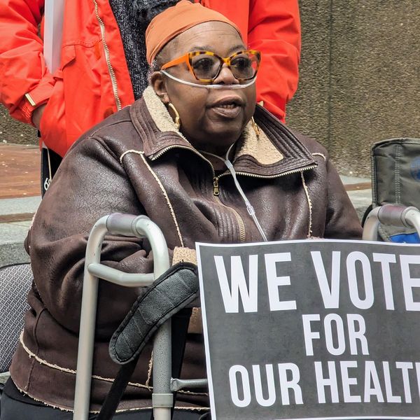
Juan Flores is a lifelong resident of Galena Park, an east Houston suburb, who has "smelled all kinds of chemicals" in the air from nearby industrial facilities.
"I'm probably gonna get cancer when I get older just because I live out here," Flores, Community Air Monitoring Program Manager of the non-profit organization, Air Alliance Houston, told EHN. "If it ain't refineries, if it ain't traffic, it's something else."
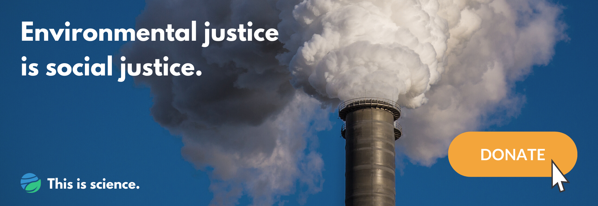
Earlier this month, the Houston Health Department reported that elevated levels of formaldehyde, a known carcinogen, were prevalent throughout Galena Park and other predominantly Black and Latino neighborhoods.
"Air pollution is…an invisible killer," Bakeyah Nelson, executive director of Air Alliance Houston, told EHN, "And communities of color and working-class neighborhoods have really been the dumping ground for [high-polluting] facilities."
But tracking exactly which Houston neighborhoods face the highest pollution burdens is almost impossible using the U.S. air monitoring system. Even in a city like Houston, which has a uniquely large network of air quality monitors, pollution hotspots can easily be missed due to constraints on how many monitors are present and where they're allowed to be installed.
And this disproportionately affects marginalized communities, who are far more likely to live near pollution sources. So, a team of researchers used satellite data to measure these disparities. They found that levels of nitrogen dioxide (NO2)—linked to higher rates of childhood asthma, increased hospitalizations, and the development of cardiovascular diseases—were 32% higher for Latino residents, 19% higher for Black residents, and between 15% to 28% higher for residents living below the poverty line.
In addition, those who are marginalized by both race and income experienced the worst air quality and saw 37% higher NO2 pollution, on average. But "in some cases, we saw inequalities as high as 85%," Sally Pusede, an assistant professor of environmental science at the University of Virginia and lead author of the study, told EHN.
The research highlights the limitations of our country's air monitoring network and the persistent racial divide in pollution exposure, but also suggests that measuring air quality from space can help tease out environmental injustices and assist in creating policies that specifically target high pollution areas.
Inefficient air pollution monitoring

"In some cases, we saw inequalities as high as 85%," said lead author Sally Pusede, photographed here in 2016. (Credit: Dan Addison/Virginia.edu)
The Texas Commission on Environmental Quality (TCEQ) monitors Houston's air, and operates one of the most robust monitoring networks in the country. According to the agency's website, it includes "more than double" the number of monitors that are typically required by the Environmental Protection Agency.
But "even cities that have a lot of these monitors don't have sufficient coverage," Tracey Holloway, professor of environmental studies at the University of Wisconsin-Madison, told EHN. They're expensive, costing roughly $100,000 to install and $25,000 per year to maintain, so "there's a limit to how many they can fund in a particular state or a particular city," she said.
In Houston's case, this means that only 3% of its residents live within 1.25 miles of an air monitor, calculates Pusede. She also points out that this equipment might not always be in areas where pollution is the highest.
There's a lot of criteria that dictates where these monitors are placed: Is there enough power for it to run? Is the site easy to access? Do you want to know the average air quality across the city or how a pollutant might transform as it travels downwind?
Unfortunately, balancing all these requirements means that cities like Galena Park often end up with only one air monitor, even though its nearly 11,000 residents live right next to the heavily polluted Houston Ship Channel, one of the busiest waterways of the world.
That's why "there's a tremendous amount of interest in using satellite data to understand these disparities," said Holloway. Because not only can this data fill in the gaps between the monitors, but they can eventually help link them back to issues surrounding health and justice.
Measuring air pollution disparities from space
If you're in Houston at 1:30 pm, look up and wave hello. At that moment, the European Union satellite, Sentinel-5P, will pass overhead carrying the TROPOspheric Monitoring Instrument (TROPOMI). Since late 2017, TROPOMI has been measuring how NO2 concentrations vary across our planet. "They measure almost everywhere, every day," said Pusede.
"For free," added Holloway, who was not involved with this study.
Also, unlike its ground-based cousins, its measurements span over a much wider area with a lot fewer gaps in the data. It's because of these characteristics that Pusede and the study's first author, Mary Angelique Demetillo, thought it would be worthwhile to test whether TROPOMI could see how NO2 changed between Houston neighborhoods.
They first compared space-based measurements with air quality data collected a few years prior via airplane. Upon confirming the two measurements matched up well, they then used TROPOMI to map out where the highest concentrations of NO2 were in the Houston area. Between June 2018 and May 2019, they identified hotspots of this pollutant over central Houston and the Houston Ship Channel to the east—both areas predominantly house working-class people of color.
"This is yet another study that shows that Black and Brown people are disproportionately burdened with exposure to air pollution" said Nelson, from Air Alliance Houston.

The future of space-based measurements
Other cities are often in a worse air monitoring position than Houston. "Most areas don't have any monitoring data at all, and even if they do have monitors, it may be one for an entire city," said Holloway. That's why she thinks that Pusede's and Demetillo's study is promising. "Instruments like TROPOMI can really play a role in characterizing the differences between neighborhoods...and better understanding these disparities."
Pusede agrees, which is why she and her team have already used TROPOMI data to measure the pollution disparities across 52 other U.S. cities—the results from this new study are currently under peer review.
Plus, the technology will improve. TEMPO, which stands for "Tropospheric Emissions: Monitoring Pollution," is another satellite instrument that will measure NO2 pollution, just like TROPOMI, but will be able to do so hourly, for the entirety of North America. "With the launch of TEMPO in a couple years, we're going to really have some pretty powerful observational constraints on [how pollution can vary across cities]," said Pusede.
Still, these space-based instruments aren't perfect because their data can be difficult to use and interpret. "It isn't like everybody needs to have a PhD to analyze the data," said Holloway, but there's a long way to go before it can be easily used for regulatory purposes by environmental agencies, like TCEQ, or by advocacy organizations, like Air Alliance Houston.

On-the-ground air pollution work remains
Holloway, who also leads the NASA Health and Air Quality Applied Sciences Team, is trying to fix this issue by having her team become an accessible point of contact for organizations—"from big to small, technical or non-technical"—who want to learn how to use satellite data.
"We're really trying to make the data more useful and relevant," she said. And when that happens, Air Alliance Houston will likely be one of the first groups in line to use it.
"We have everything to gain by having more data available to us in order to continue making the case that this is a serious issue impacting people's lives every single day," said Nelson of Air Alliance Houston.
In the meantime, however, the organization is doing the best it can on the ground. "We are working with community leaders and community organizations to install [low-cost] air monitors to expand the city's monitoring network," she said.
Though this particular type of air monitor is typically considered less accurate than the ones TCEQ uses, it can still give local residents an idea of how much pollution is present near their homes.
Flores, who's overseeing this initiative, has already installed three of these monitors in Pasadena, a much bigger east Houston suburb than Galena Park that also only has one regulatory monitor.
"It's up to us to have our own defense," said Flores, "We're trying to capture data so we can be able to show them 'Hey, this is what's going on.'"
Banner photo: Aerial view in 2014 of the Houston Ship Channel and surrounding energy facilities in Houston, Texas. (Credit: GPA Photo Archive/flickr)


